This is an old revision of the document!
lithium detection with satellites
SAR imagery
“The Sentinel-1 mission comprises a constellation of two polar-orbiting satellites, operating day and night performing C-band synthetic aperture radar imaging, enabling them to acquire imagery regardless of the weather.”(link)
https://sentinel.esa.int/web/sentinel/user-guides/sentinel-1-sar/acquisition-modes
Mode\Resolution\Pixel spacing
SM\9×9 m\3.5×3.5 m
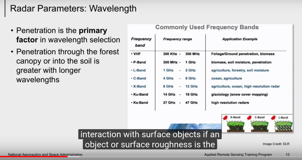
NASA ARSET: Basics of Synthetic Aperture Radar (SAR), Session 1/4
 DEEP LEARNING IN SAR-OPTICAL DATA FUSION arxiv
big guns > https://en.wikipedia.org/wiki/TerraSAR-X#TerraSAR-X_imaging_modes
esa_sar_tutorial.pdf - great intro
https://en.wikipedia.org/wiki/Synthetic-aperture_radar
https://en.wikipedia.org/wiki/Space-based_radar
- mmm 10cm resolution
- depth (?)
python library pyradar written by a spanish, we need to meet him
“The Alaska Satellite Facility provides production, archiving and distribution to the scientific community of SAR data products and tools from active and past missions, including the June 2013 release of newly processed, 35-year-old Seasat SAR imagery.”
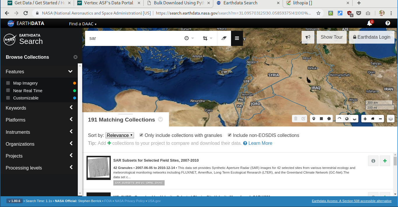
datasets
see a helpful SA answer EOLi (Earth Observation Link ) is the European Space Agency's client for Earth Observation Catalogue Service. also > alska datasets > d/l with script pdf
https://daac.ornl.gov/daacdata/eos_land_val/sar_subsets/data/
https://dx.doi.org/10.3334/ORNLDAAC/993
https://daac.ornl.gov/cgi-bin/dsviewer.pl?ds_id=993

sat imagery

planet
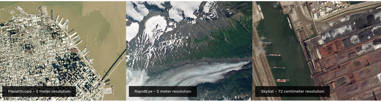 5,3,0.7m
images from planetscope

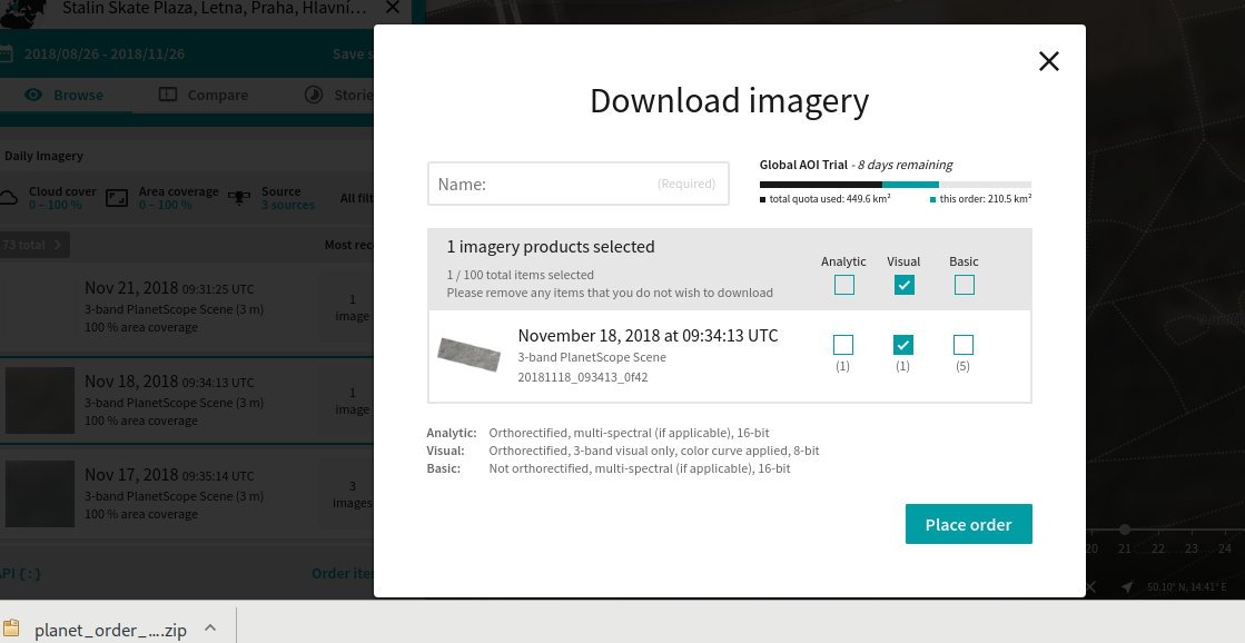
link to full resolution scan (cropped) for 18th in november
that is an excerpt from planets free samples on registration.
- 200sq/km scans
- 3sq/m resolution ("4.77m at the equator")
- a daily scan cycle
- with 7 day delay
access via a command line and a nice web based tool.
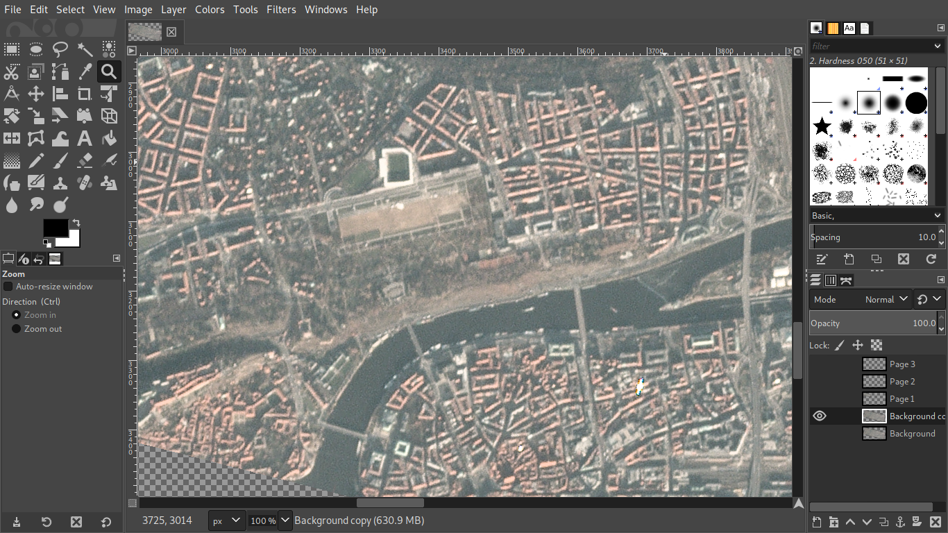
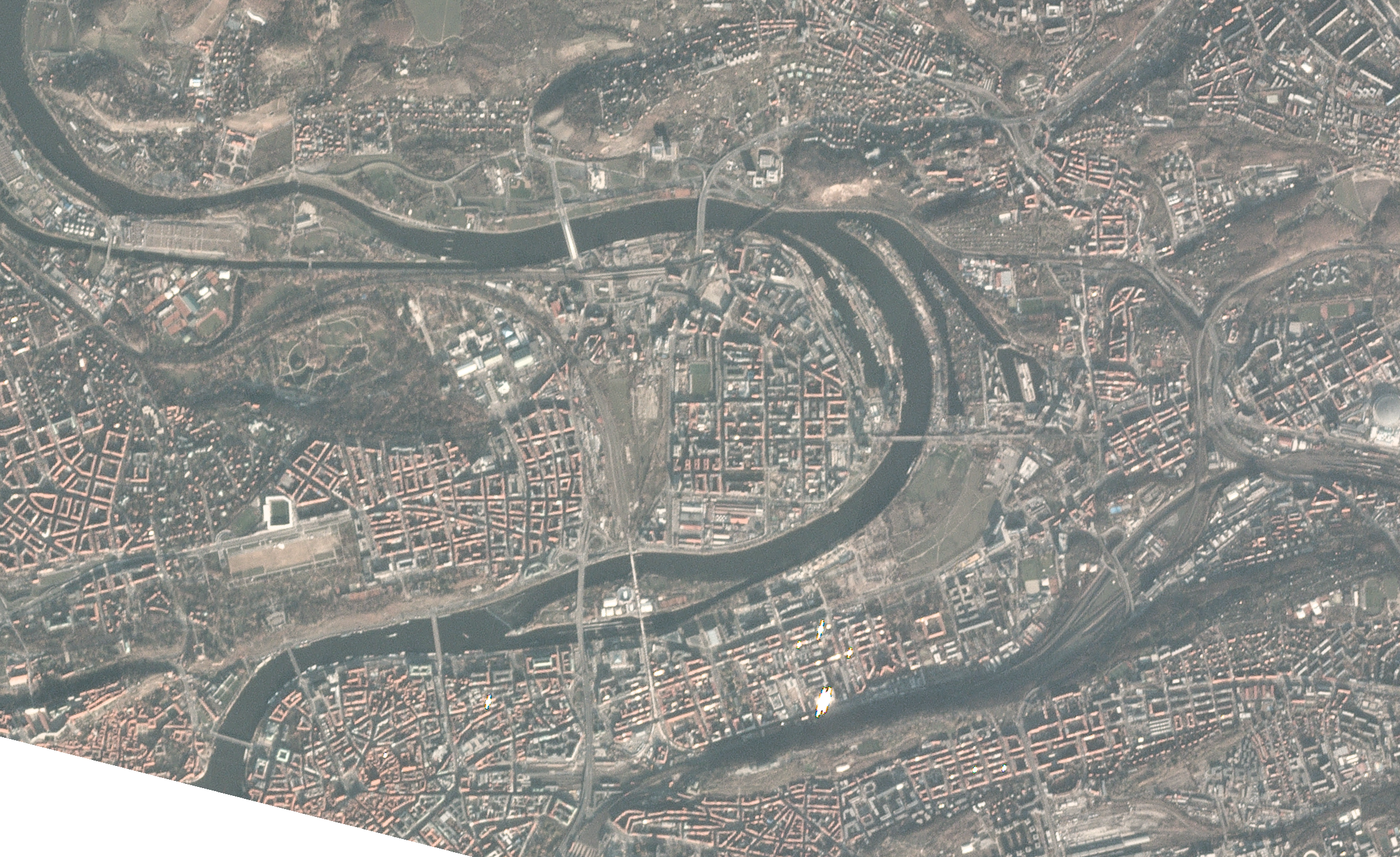
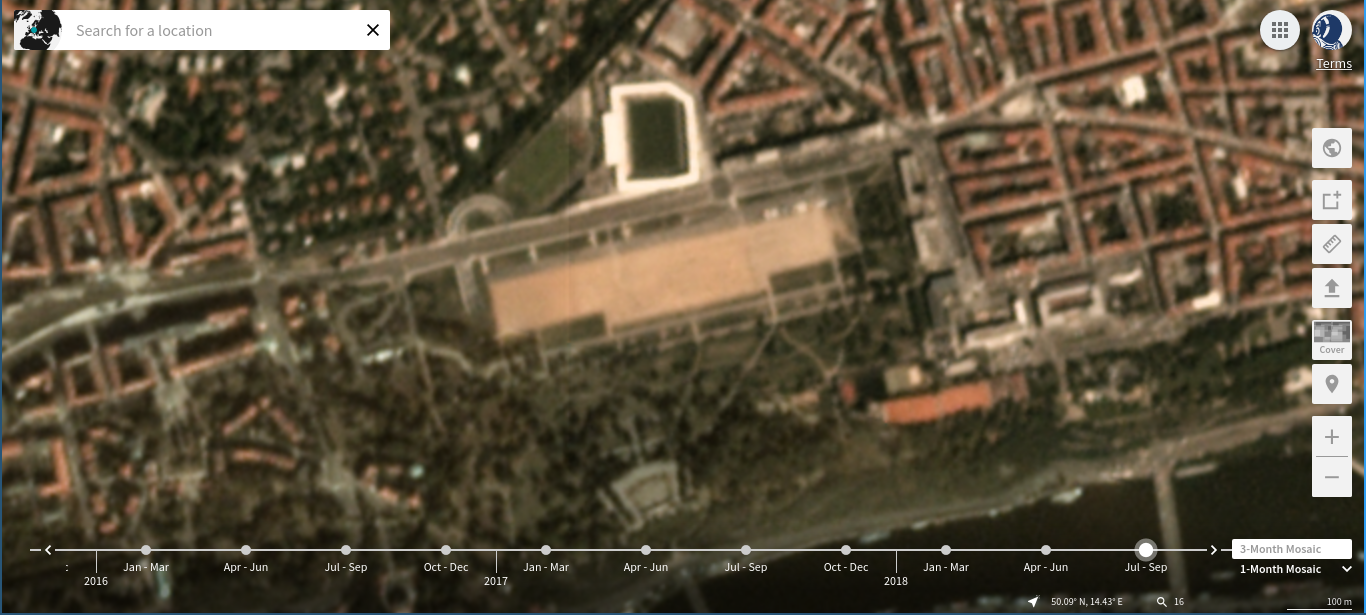
media
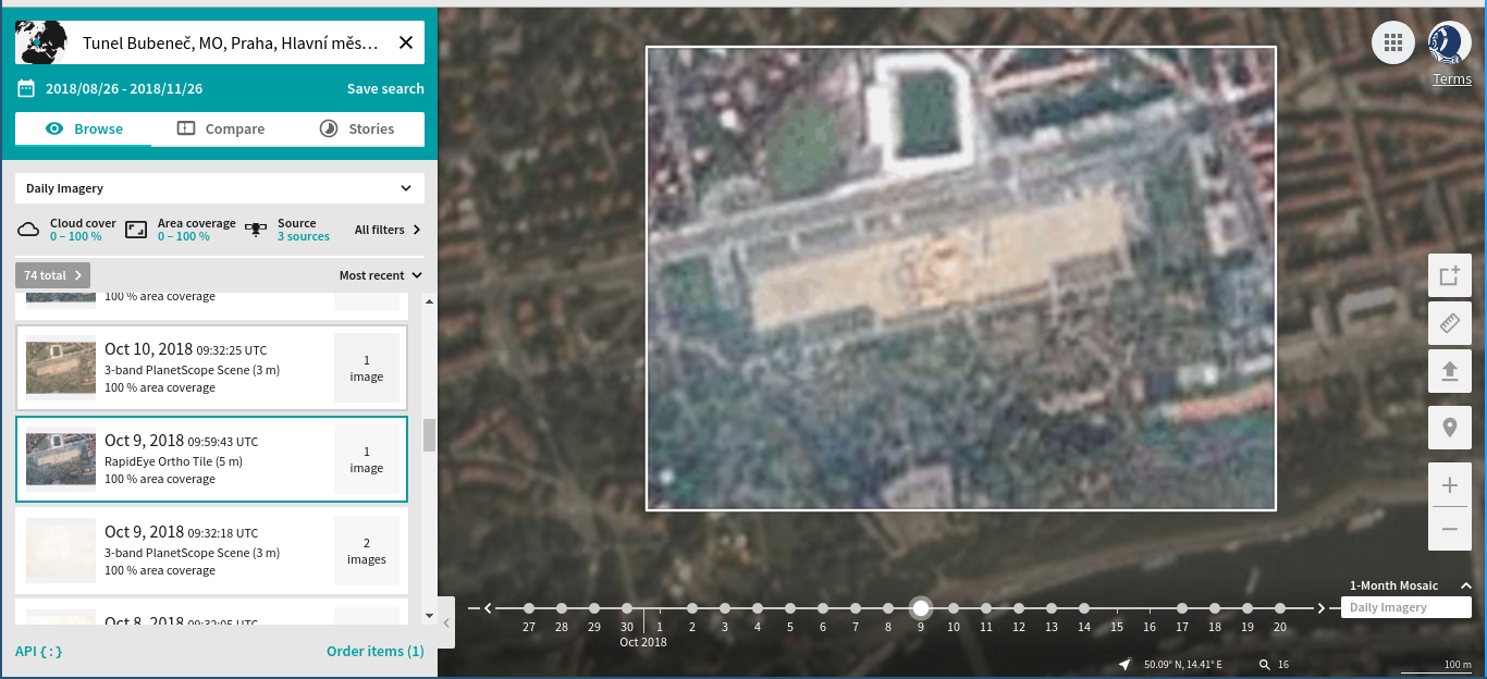
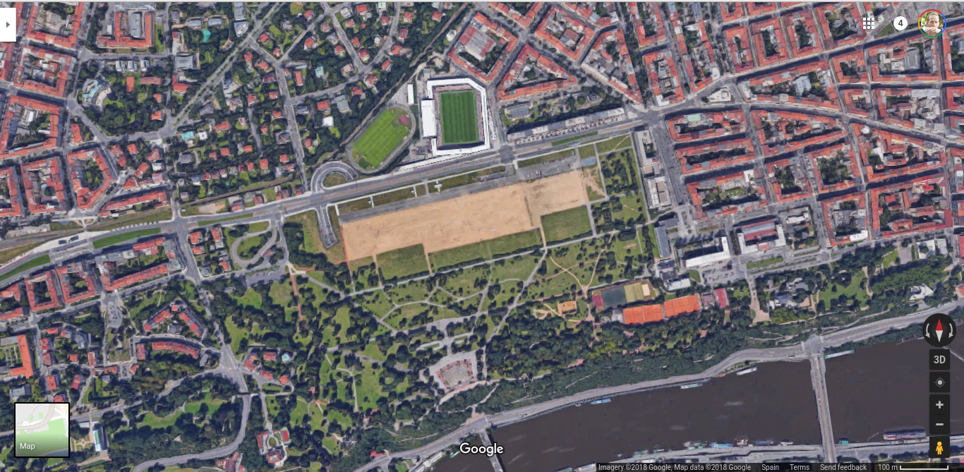
notice the tent(?)
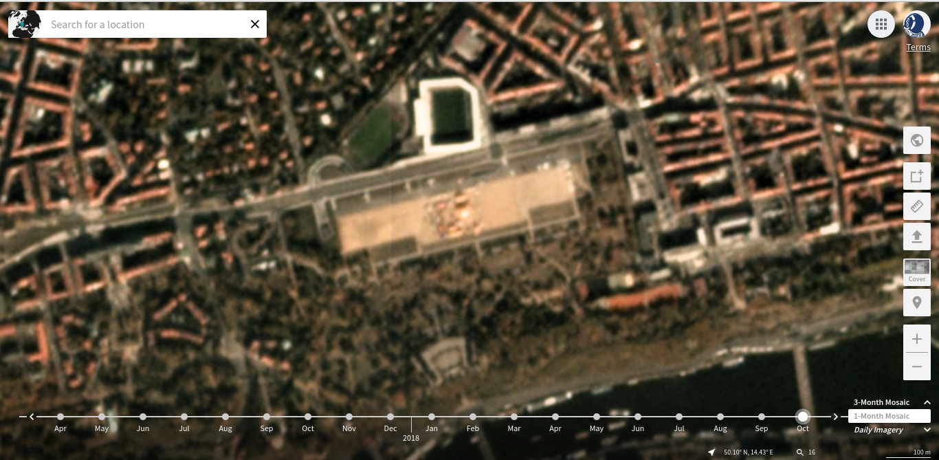
google view